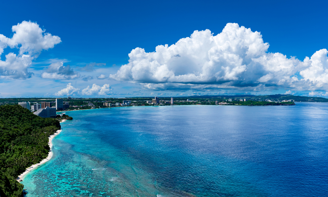
Hagåtña, Guam – The Guam Coastal Management Program (GCMP) has released a new Guam Shoreline Atlas study with emphasis on shorelines experiencing erosion, containing at-risk infrastructure, or needing shore protection. The study was prepared by the U.S. Army Corps of Engineers (USACE), Honolulu District and describes the physical characteristics of Guam’s shoreline. The Guam Shoreline Atlas can be downloaded at bsp.guam.gov.
“This Atlas provides us with an overview of current shoreline conditions throughout Guam. With this, our shoreline managers and environmental protectors have the tools they need for us to effectively combat erosion and preserve our beaches,” said Governor Lou Leon Guerrero.
“The data in this study will be integral to our vision and action items as we implement the 2050 Guåhan Sustainability Plan in alignment with the United Nations Sustainable Development Goals,” said Lt. Governor Josh Tenorio. “In addition to our Guam Green Growth initiatives, this research will support the sustainable and resilient economic recovery of our island.”
“The study was conducted by the U.S. Army Corps of Engineers, Honolulu District under the Planning Assistance to the States Program at no cost to the Government of Guam,” said Tyrone Taitano, Director of the Bureau of Statistics and Plans. “We are pleased with the completion of the Guam Shoreline Atlas and thank the USACE for their study documenting Guam’s coastal erosion concerns, as well as providing crucial data for our continued shoreline planning.”
The Guam Shoreline Atlas was completed in two phases: field investigations and preparation of the Atlas. Field investigations were conducted to identify, photograph, document, and map existing shoreline features, conditions, and problem areas. Data collected from these investigations were used to create an interactive Portable Document Format (PDF). Ground-level digital photographs captured the site characteristics and documented the shoreline condition for inclusion in this Atlas. Global Positioning System (GPS) units were used to accurately map the shoreline features. Additionally, a Geographic Information System (GIS) geodatabase containing compatible spatial data from the study was also provided.
“The GIS spatial data is fundamental for our program’s comprehensive planning efforts for coastal erosion, mitigation efforts, and continued shoreline planning efforts,” said GCMP Administrator Edwin Reyes.
For more information, contact Edwin Reyes at (671)475-9672 or edwin.reyes@bsp.guam.gov.
###

